
ABOUT FAGASA
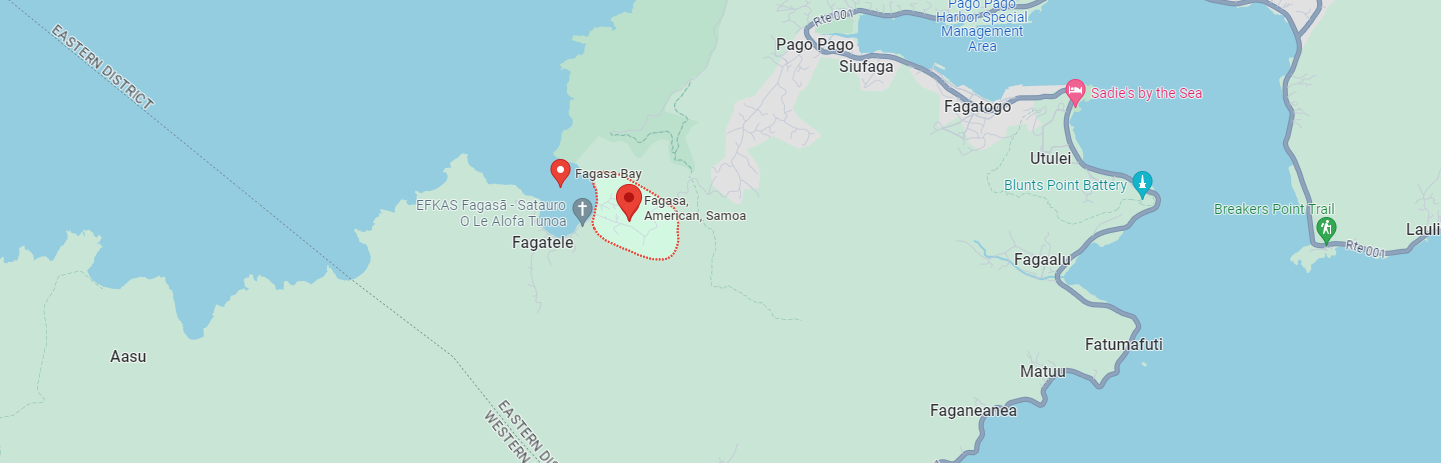
Fagasā is a village in the Eastern District of Tutuila Island in American Samoa. The village lies by Fagasa Bay, on the north shore of the island. Its name is Samoan and translates to "Forbidden Bay”. The village borders the Tutuila-section of National Park of American Samoa. The trailhead to Mount ʻAlava is located near the village by Fagasa Pass (on Route 5).
Fagasa has two sub-villages: Fagatele (Big Bay) on the west side, where Leʻatele School is located, and Fagaleʻa on the east side, by the chapel of the Congregational Christian Church in American Samoa (CCCAS).
Forbidden Bay has been described as one of the most beautiful bays in the South Pacific Ocean. It can be reached by boat or from Fagasā by foot.
ATTRACTIONS
World War II relics can be seen on the mountain ridges and shorelines of Fagasa. The American Marines left Fagasa on August 15, 1945, after it was officially declared that the Japanese forces had surrendered to the United States. On the shorelines of Fagafue and Sika, one can still find the pillbox forts or gun turrets the Marines utilized as coastal lookouts during World War II.
There is a marine life sanctuary in Fagasa Bay. Tourists often hike from Mafa Pass to the Mount ʻAlava Towers, which is the main transmitting antennas of the American Samoa Government's TV station.
NATIONAL PARK
The Tutuila unit of the National Park of American Samoa is situated between the villages on Fagasā on the west and Āfono on the east. The southern boundary follows along the crest of the Mount ʻAlava-Maugaloa Ridge above Pago Pago Harbor from Āfono Pass to Fagasā Pass. Access to the Tutuila portion of the park is via the road which runs along the perimeter of the upper Pago Pago Harbor. Lateral roads lead to Fagasa Pass the park's western end. From the Fagasā Pass National Park entrance, there is an unpaved road leaving hikers to the top of Mount ʻAlava. The road was originally constructed in order to service the television transmitters on the mountain. Road signs marking entry points to the National Park can be found near the trailhead at Fagasā Bay, and along the national park side of Fagasā Bay in order to mark the park's boundary from the ridge top down to Siufaga Point.
Jagged Mount ʻAlava dominates the scenery on northern Tutuila Island. A 6-mile (9.7 km) roundtrip trail leads up to the 1,585 ft. peak. The view from atop Mount ʻAlava contains both the south and north sides of the island's Pacific coasts as well as the deep inlet in Pago Pago Harbor.